Iceland Journal – “Waterfall and Barn”

“Waterfall and Barn” – Þjóðvegur, South Shore, Iceland
“The icy waters flow and drop in silver streams from high cliff tops; they nourish the land and flow among the ancient bedrock and volcanic debris; sculpting, cleansing, and nourishing this rugged landscape with their cool purity and gentle persistence”
– Ed Lehming
It seemed like this stretch of highway between Vik and Höfn was lined with some form of waterfall for much of the early part of the drive. This high and ancient plateau oozed water from every crack and crevice, creating waterfalls in so many forms it is hard to describe them all.
There were slow meandering ribbons of water that followed the slope of the land and high thundering falls that plunged through the void to thunder upon on rocks far below, and some flowed in wide ribbons across exposed rock, like a vast white curtain in the wind.
The source of all this water, kilometers from our sight, is the ancient ice fields and glaciers of Vatnajökull, covering some 14,000 square kilometers of Iceland’s interior in snow and ice.
With the number of waterfalls and the flow of the water, I can only imagine what spring and early summer must be like, as even in late October, it was simply magnificent to behold.
I read somewhere that Iceland has over 10,000 waterfalls. From my experiences during my ten-day trip, I think that number falls far short from reality. There are waterfalls everywhere. In fact, it was tough, being a ‘flatlander’ not to stop every few minutes along the highway to make yet another photo.
It should also be noted, for those new to Iceland, that many of these smaller waterfalls, while clearly visible from the highway are on private property and can only be viewed from a distance.
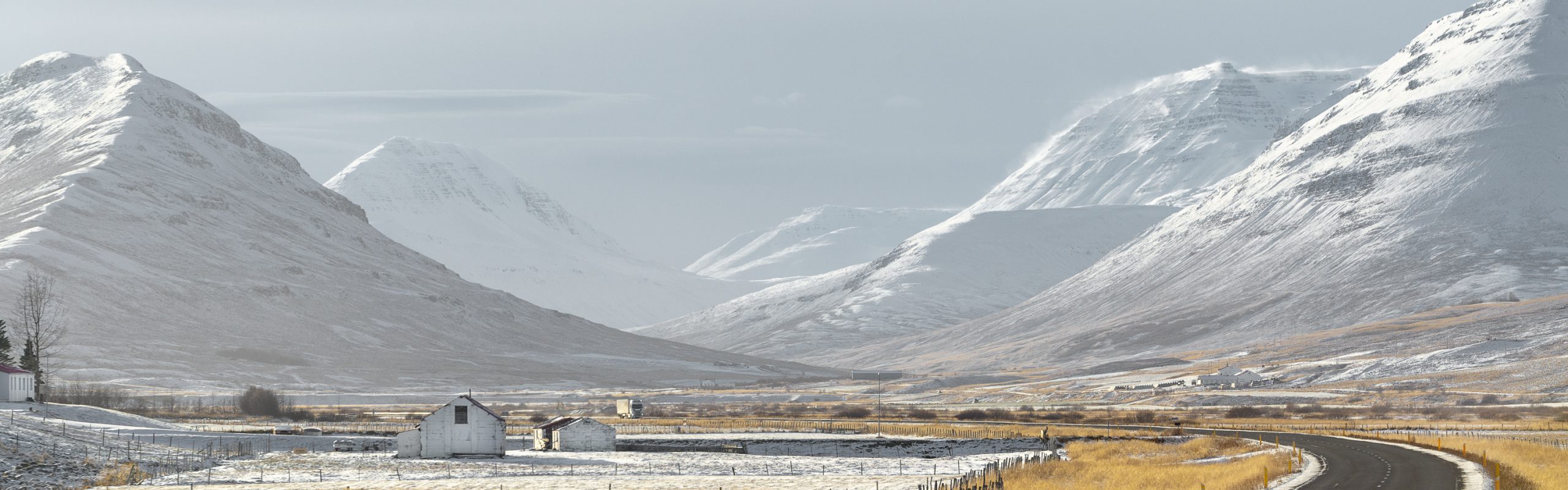
Along this coast, one side of the highway is the high plateau, while the other side is an endless lava field that stretches for kilometers south before meeting the shore of the North Atlantic.
I’ve embedded the Google Maps view for your reference:
https://www.google.ca/maps/@63.8506677,-17.9003383,3a,75y,342.02h,97.82t/data=!3m6!1e1!3m4!1sKddaHD6706lpCl-pw1tqHw!2e0!7i13312!8i6656
Nikon D800
Tamron SP 70-200mm f/2.8 Di VC USD @ 70mm
1/200 sec, f/7.1, ISO 200
For more images like this, please visit my website (images are available for purchase)
http://www.edlehming.com


Beautiful Pic!
Thank you
The perspective on this waterfall with the barn in the foreground is stunning. Each of the small waterfalls further down stream would be considered tall by my standards!! Can you just imagine living at the base of this wonder?!! It’s truly humbling!
There were so many farms like this. Free irrigation. Often, too much and a lot of work goes into managing melt water. On the Street View image, you can see one of these deep ditches.